Astronaut photographs strange iridescent clouds at the edge of space

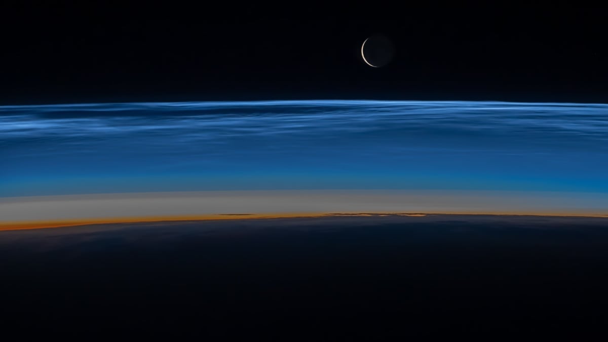
Astronaut Matthew Dominick was flying about 17,000 miles per hour above Earth when he looked out the window and saw this remarkable view. Dominick, who was sent to the space station in March as commander of the International Space Station, NASA‘S SpaceX Crew-8 mission, grabbed its camera and snapped the above photo. Taken on July … Read more
Scientists reconstruct collapsed Antarctic glaciers using 1960s aerial photographs

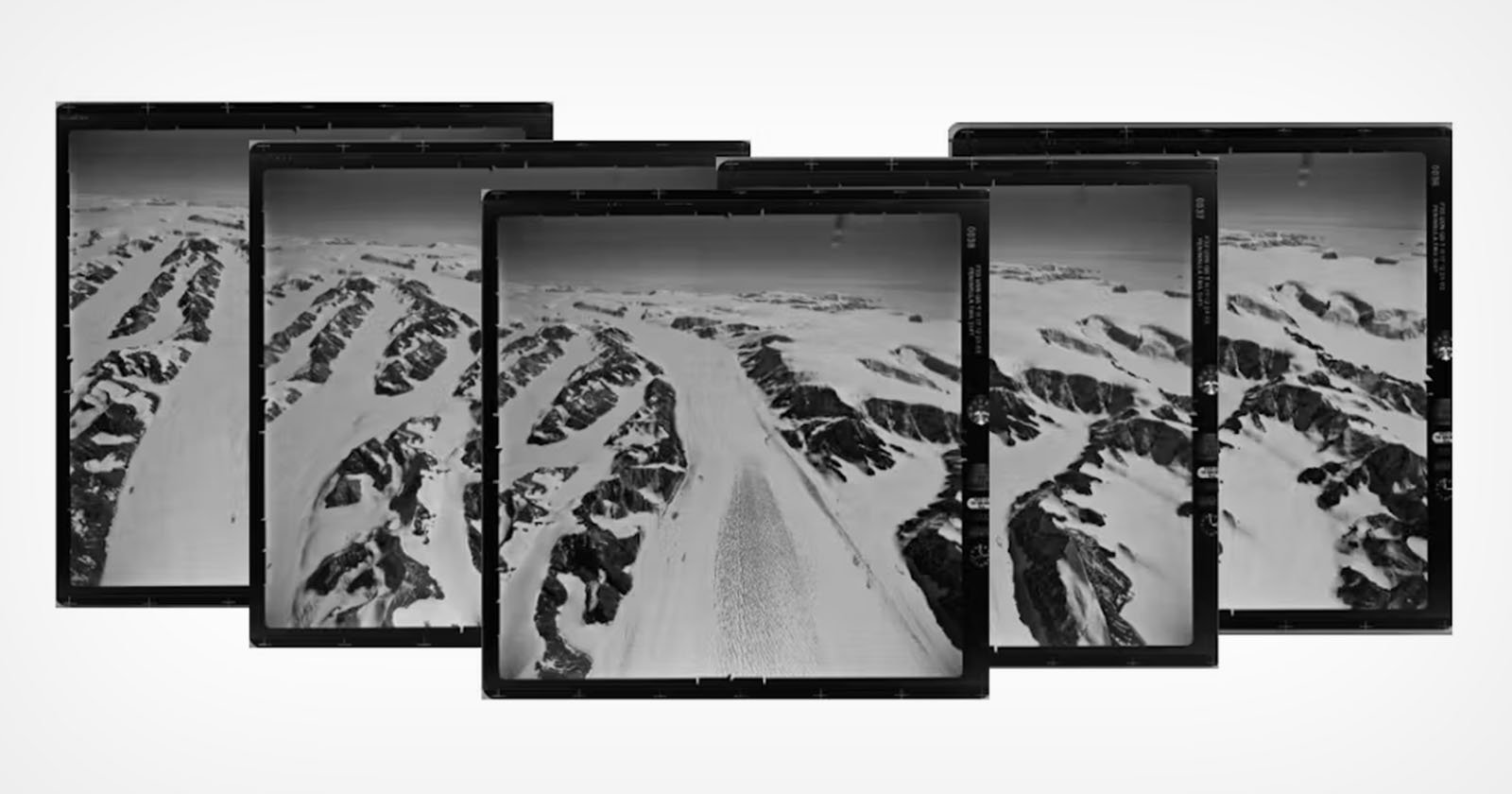
A series of overlapping aerial photographs depicts a snowy mountain range with rugged peaks and valleys. The images, positioned in a slight arc, showcase a vast expanse of snow, ice, and rock, suggesting a remote and cold landscape.

Antarctica’s Larsen Ice Shelf has been breaking up for decades, but the 2002 Larsen B collapse was particularly dramatic. After being stable for at least 10,000 years, a large section of the shelf broke apart, with repercussions felt across the planet. The widespread changes in Antarctica have been extensively studied and published, but contextualizing and … Read more

We used 1,000 historical photographs to reconstruct Antarctic glaciers before dramatic collapse

In March 2002, the Larsen B Ice Shelf collapsed catastrophically, fragmenting an area about one-sixth the size of Tasmania. In a paper published today in Scientific Reports, we used nearly 1,000 film photographs of Antarctica from the 1960s to reconstruct exactly what five glaciers looked like decades before the collapse of the Larsen B Ice … Read more

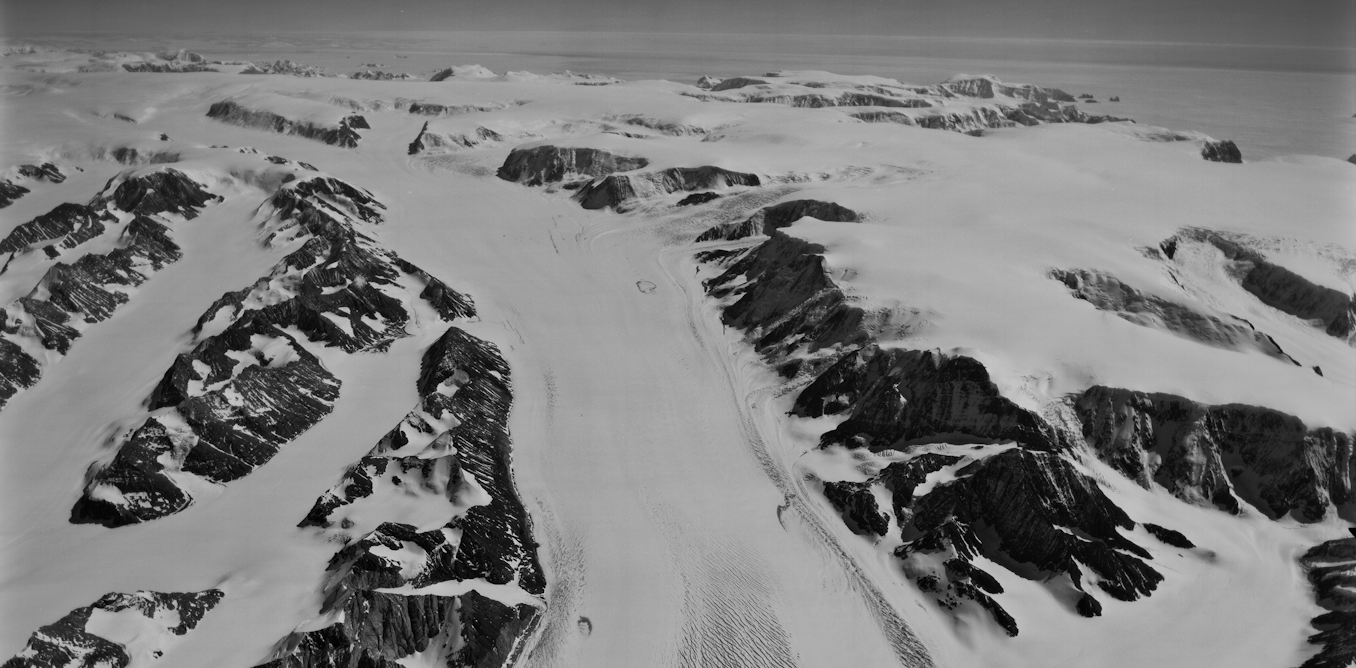
Challenging modern climate stories: Forgotten aerial photographs from 1937 expose the Antarctic anomaly

SciTechDaily

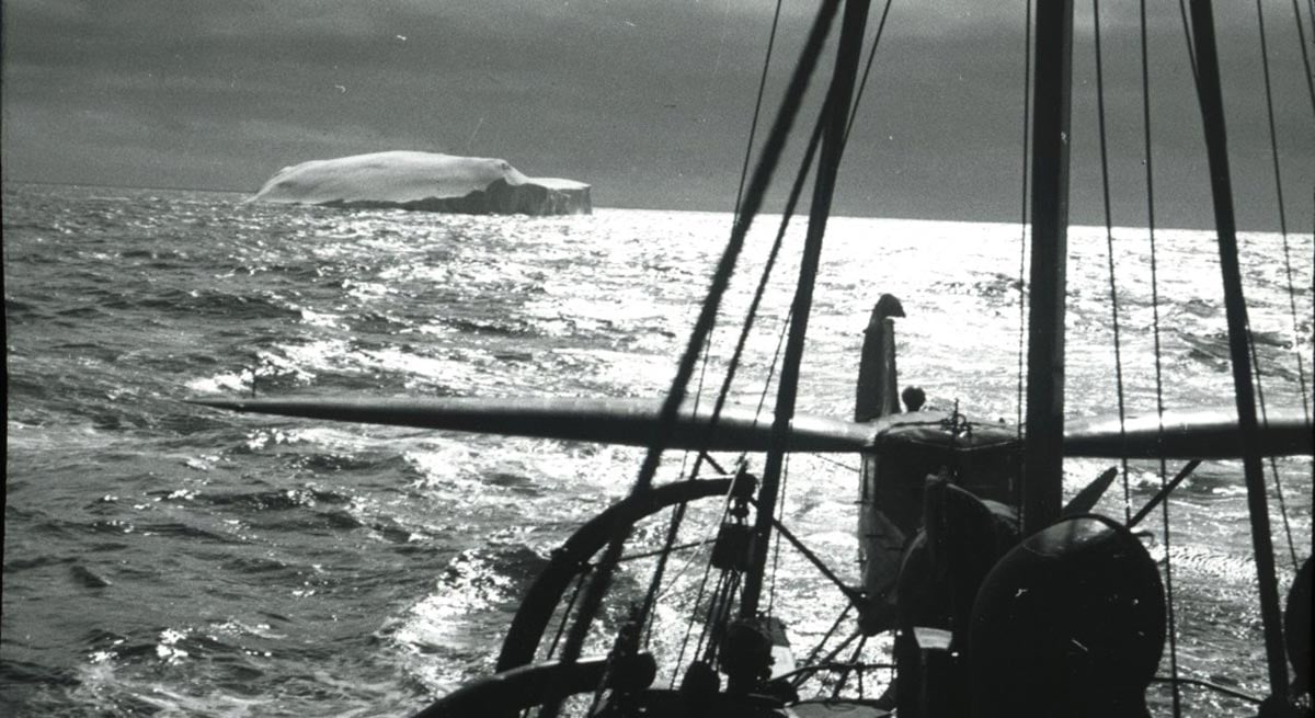
Researchers from the University of Copenhagen used aerial photographs from 1937 to analyze the stability and growth of the ice in East Antarctica, showing that despite some signs of weakening, the ice has remained largely stable for almost a century, contradicting predictions about sea level rise is improving. Credit: Norwegian Polar Institute in Tromsø A … Read more