Scientists reconstruct collapsed Antarctic glaciers using 1960s aerial photographs

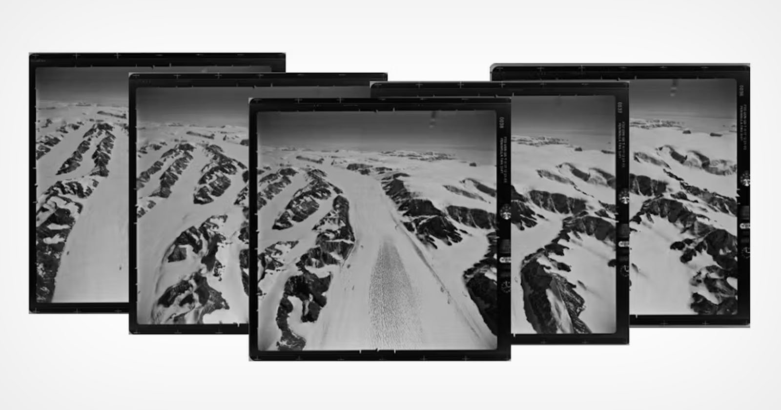
A series of overlapping aerial photographs depicts a snowy mountain range with rugged peaks and valleys. The images, positioned in a slight arc, showcase a vast expanse of snow, ice, and rock, suggesting a remote and cold landscape.

Antarctica’s Larsen Ice Shelf has been breaking up for decades, but the 2002 Larsen B collapse was particularly dramatic. After being stable for at least 10,000 years, a large section of the shelf broke apart, with repercussions felt across the planet. The widespread changes in Antarctica have been extensively studied and published, but contextualizing and … Read more
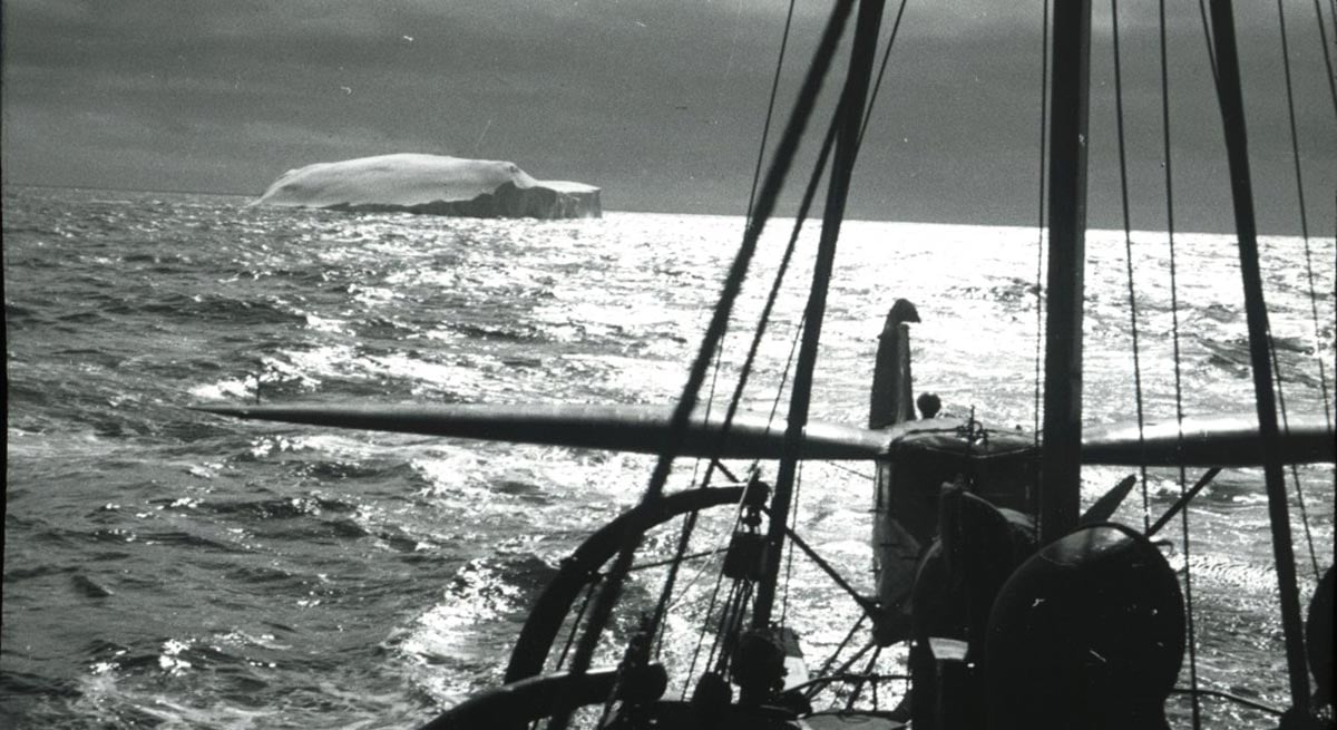
Challenging modern climate stories: Forgotten aerial photographs from 1937 expose the Antarctic anomaly

SciTechDaily

Researchers from the University of Copenhagen used aerial photographs from 1937 to analyze the stability and growth of the ice in East Antarctica, showing that despite some signs of weakening, the ice has remained largely stable for almost a century, contradicting predictions about sea level rise is improving. Credit: Norwegian Polar Institute in Tromsø A … Read more

Warm seawater flows under the “Doomsday Glacier” and it is as bad as it sounds

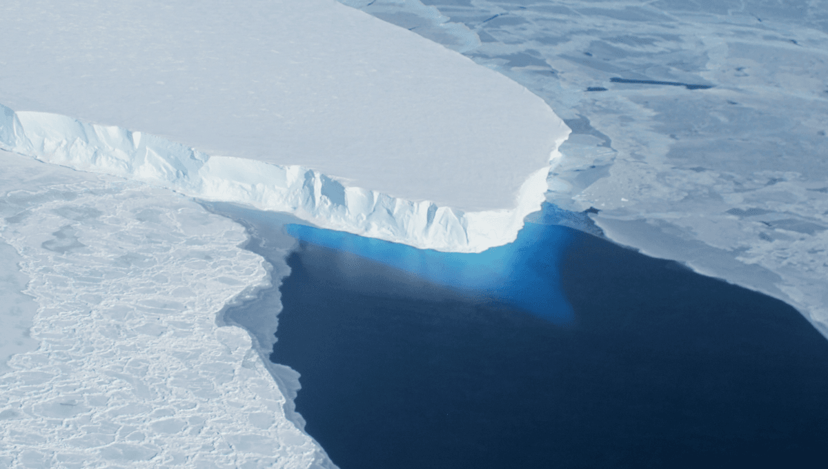
Tidal pressure has been observed to push (relatively) warm water under the Thwaites Glacier, exposing a much larger ice surface to the warming pressure. The observations indicate that catastrophic sea level rise could come much sooner than almost everyone is preparing for. Rising temperatures contribute to higher sea levels by expanding existing water in the … Read more

Doomsday Glacier’s ticking clock: Satellites reveal “powerful melt” beneath Antarctica’s Thwaites Glacier

SciTechDaily

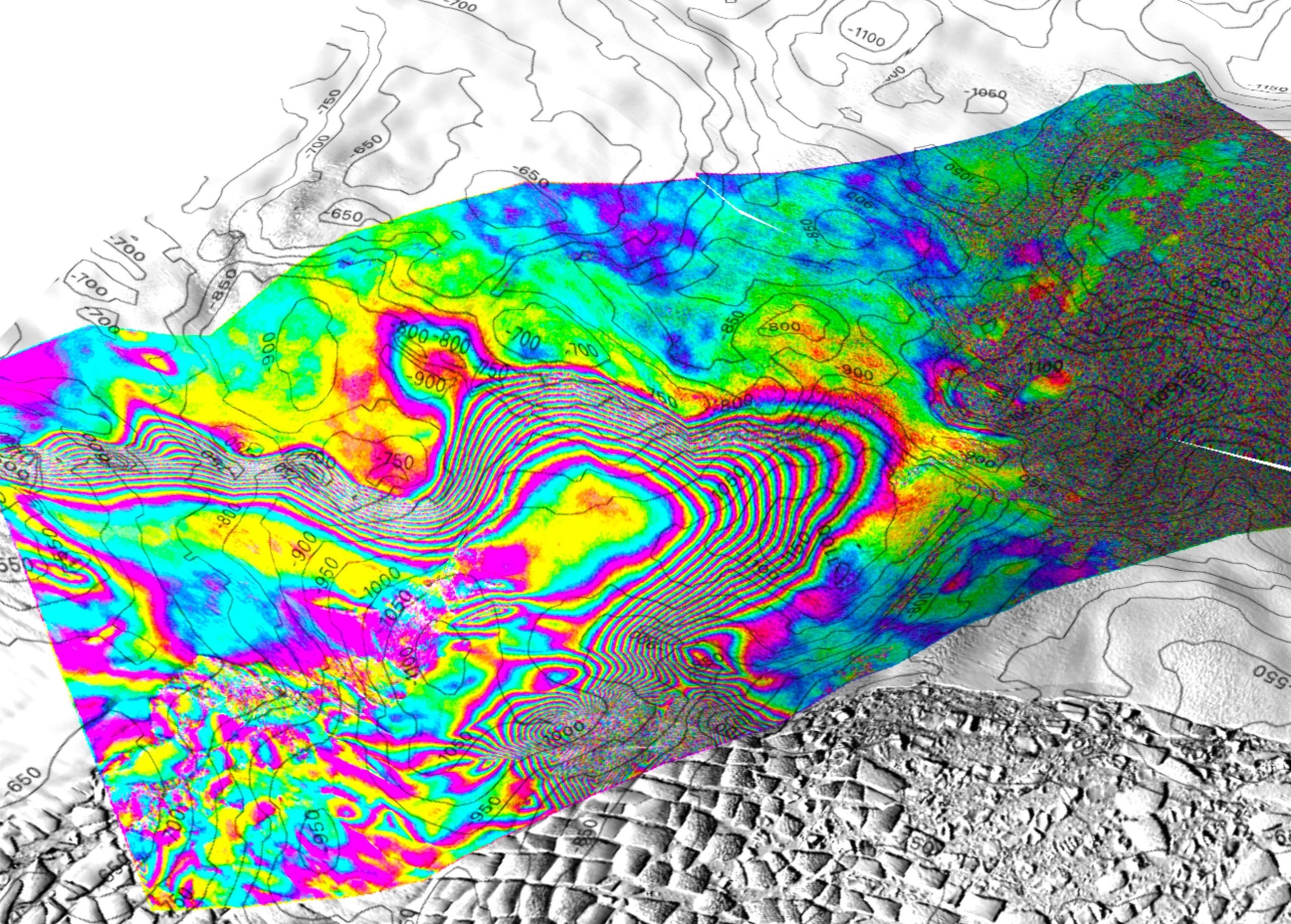
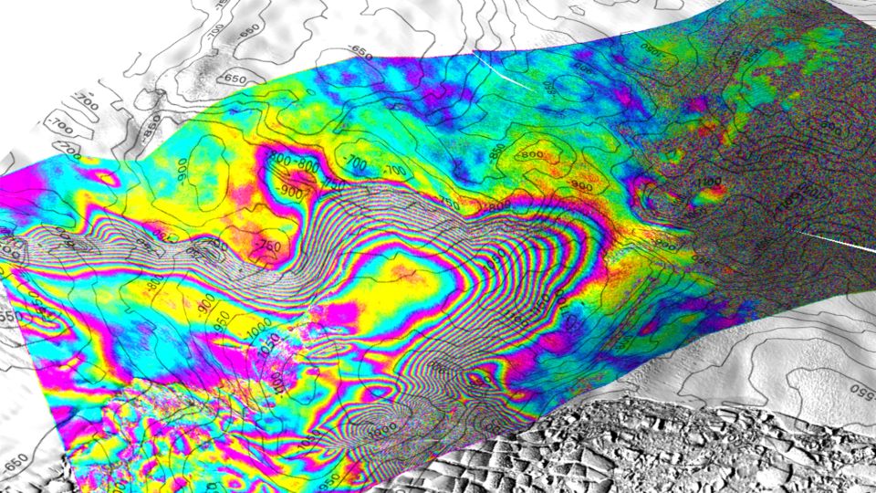
A team led by glaciologists from UC Irvine used satellite radar data to reconstruct the impact of warm ocean water rising in a grounding zone extending several kilometers beneath the Thwaites Glacier in West Antarctica. The research, the subject of an article published in PNAS, will help climate modelers derive more accurate projections of sea … Read more

Ocean water flows for miles under the ‘Doomsday Glacier’, potentially causing serious consequences for sea level rise

A view of the tidal motion at Thwaites Glacier, West Antarctica, recorded by Finland’s ICEYE commercial satellite mission, based on images acquired on May 11, 12 and 13, 2023. - Eric Rignot/UC Irvine

Ocean water is pushing miles beneath Antarctica’s “Doomsday Glacier,” making it more vulnerable to melting than previously thought, according to new research that used radar data from space to create an X-ray of the crucial glacier. As the salty, relatively warm ocean water meets the ice, it causes a “powerful melt” under the glacier and … Read more

Ocean water flows for miles under the ‘Doomsday Glacier’, potentially causing serious consequences for sea level rise | CNN

CNN — Ocean water is pushing miles beneath Antarctica’s “Doomsday Glacier,” making it more vulnerable to melting than previously thought, according to new research that used radar data from space to create an X-ray of the crucial glacier. When the salty, relatively warm ocean water meets the ice, it causes a “powerful melt” under the … Read more