A Falcon Heavy rocket launched a new weather satellite into orbit from the Space Coast on Tuesday evening. The ‘GOES-U’ satellite is the newest and final addition to NOAA’s GOES-R series of satellites. GOES stands for Geostationary Operational Environment Satellite Series. The launch took place on Tuesday at 5:26 p.m. The satellites provide advanced imagery, real-time mapping of lightning activity and space weather monitoring. On board is the Advanced Baseline Imager, an instrument used to image Earth’s oceans, weather and environment. Ken Graham, the director of the National Weather Service, said this type of technology and faster data will help detect severe weather. Related: New NOAA Weather Satellite That Sends Data Faster Than Ever The satellite will be equipped with a new sensor called the Compact Coronagraph, which will help detect solar flares faster than ever. “We’ll have new data every 30 minutes instead of 8 hours earlier. That’s a game changer when it comes to space weather watches and warnings,” Graham said. In addition to improving response time for spotting geomagnetic storms, Graham said the resolution on the new satellite will pick up small details about weather events on Earth that were previously missed. “It’s not just the storm itself, it’s the environment around it to be able to tell if there’s wind shear, to be able to tell if there’s any kind of wind shear.” of obstacles in the way, so to speak, in the atmosphere that could affect the storm.
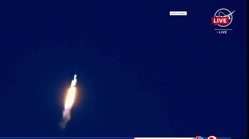
A Falcon Heavy rocket launched a new weather satellite into orbit from the Space Coast on Tuesday evening.
The ‘GOES-U’ satellite is the newest and final addition to NOAA’s GOES-R series of satellites. GOES stands for Geostationary Operational Environment Satellite Series.
The launch took place on Tuesday at 5:26 p.m
This content is imported from Twitter. You may be able to find the same content in another format, or you may be able to find more information, at their web site.
The satellites provide advanced imagery, real-time mapping of lightning activity and space weather monitoring.
On board is the Advanced Baseline Imager, an instrument used to image Earth’s oceans, weather and environment.
Ken Graham, the director of the National Weather Service, said this type of technology and faster data will help detect severe weather.
Related: New NOAA Weather Satellite to Send Data Faster Than Ever
The satellite will be equipped with a new sensor called the Compact Coronagraph, which will help detect solar flares faster than ever.
“We’ll have new data every 30 minutes instead of 8 hours earlier. That’s a game changer when it comes to space weather watches and warnings,” Graham said.
This content is imported from Twitter. You may be able to find the same content in another format, or you may be able to find more information, at their web site.
In addition to improving response time for spotting geomagnetic storms, Graham said the resolution on the new satellite will pick up small details about weather events on Earth that were previously missed.
This content is imported from Twitter. You may be able to find the same content in another format, or you may be able to find more information, at their web site.
“It’s not just the storm itself, it’s the environment around it to be able to see if there is wind shear, to be able to see if there are any obstacles in the way, so to speak, in the atmosphere that could modify the storm. so all play a role in our prediction,” he said.
This content is imported from Twitter. You may be able to find the same content in another format, or you may be able to find more information, at their web site.