Geologists exploring the vast West Antarctic ice sheet have discovered the remains of an ancient river system that once stretched nearly 1,000 miles (1,600 kilometers).
The discovery offers a glimpse into Earth’s history and hints at how extreme climate change could reshape the planet, according to their findings published June 5 in the journal Science Advances.
“When we think about possible serious climate change in the future, we should learn from periods in Earth’s history when this has already happened,” Johann Klages, a study co-author and a sedimentologist at the Alfred Wegener Institute Helmholtz Center for Polar and Marine Research in Germany, told Live Science.
Between 34 million and 44 million years ago, an era known as the mid-to-late Eocene, Earth’s atmosphere changed dramatically. As carbon dioxide levels dropped, global cooling caused glaciers to form on an ice-free Earth.
Related: US Space Force satellite data sheds light on Arctic warming mystery
Scientists are interested in studying how this major climate event unfolded in Antarctica, especially as carbon dioxide levels on Earth continue to rise due to human-caused climate change. The amount of carbon dioxide during the late Eocene was nearly double what we have now. However, it could be similar to the levels predicted in about 150 to 200 years if greenhouse gas levels continue to rise, Klages said.
But uncovering the past has proven challenging. Most of West Antarctica is now covered in ice, making it difficult to access sedimentary rocks, which are key to studying early environments. Geologists often rely on the types of grains, minerals and fossils locked up in these sediments to determine the kinds of conditions that characterized an area.
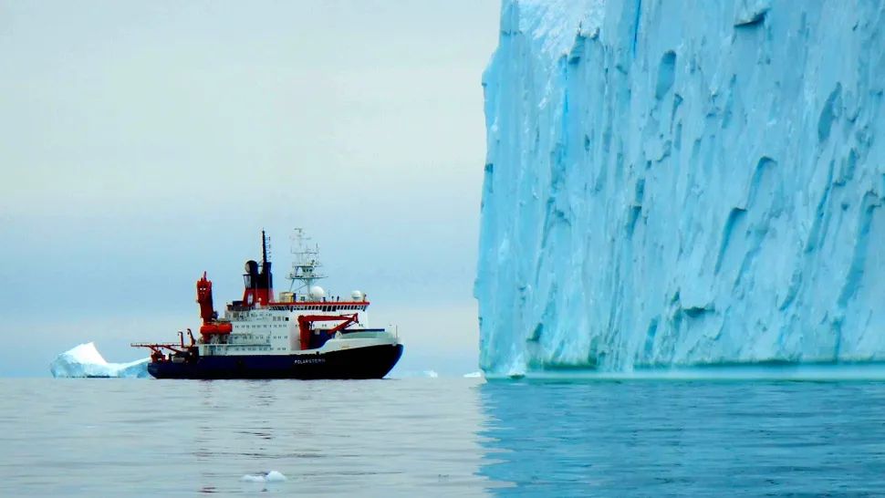
In 2017, Klages and other scientists aboard the research vessel Polarstern expedition traversed the southernmost part of Chile, across the rugged Drake Passage, and into the western part of the icy continent. Equipped with sophisticated seafloor drilling equipment, Klages and his team set out to collect cores from soft sediments and hard rocks in the frozen seafloor.
After drilling nearly 30 meters into the seabed, the researchers found sediments with layers from two different periods.
By calculating the half-life of radioactive elements, such as the ratio of uranium and lead in the sediment, they found that the lower part of the sediment was formed during the Middle Ages.Cretaceous periodabout 85 million years ago. This sediment contained fossils, spores, and pollen characteristic of a temperate rainforest that existed at that time. The upper part of the sediment contained mainly sand from the mid-to-late Eocene, about 30 million to 40 million years ago.
Upon closer inspection, they recognized a strong layering pattern in the Eocene sand layer that resembled the sand layers of a river delta. It was very similar to the layers you find in the Mississippi River or the Rio Grande, Klages said.
The scientists performed a lipid biomarker analysis, quantifying the amount of lipid and sugar in the sediment, and found a unique molecule that is common in cyanobacteria that live in freshwater. The finding confirmed their suspicions that an ancient river once meandered through the continent.
The researchers were able to trace the Eocene grains to a specific salt area in the Transantarctic Mountains, which stretched for about 1,500 kilometers before emptying into the Amundsen Sea.
“This is exciting: just having this exciting image in your head of a gigantic river system flowing through Antarctica that is now covered in kilometers of ice,” Klages said.
Klages and his team are now analyzing parts of the core sediments that belong to a more recent Oligocene-Miocene period, about 23 million years ago. This will help refine models to better predict future climate.